Zheng Xu
"Vertical Map of the World Trade Centre"
Keywords: mapping, urbanism, architecture, moving image, memory
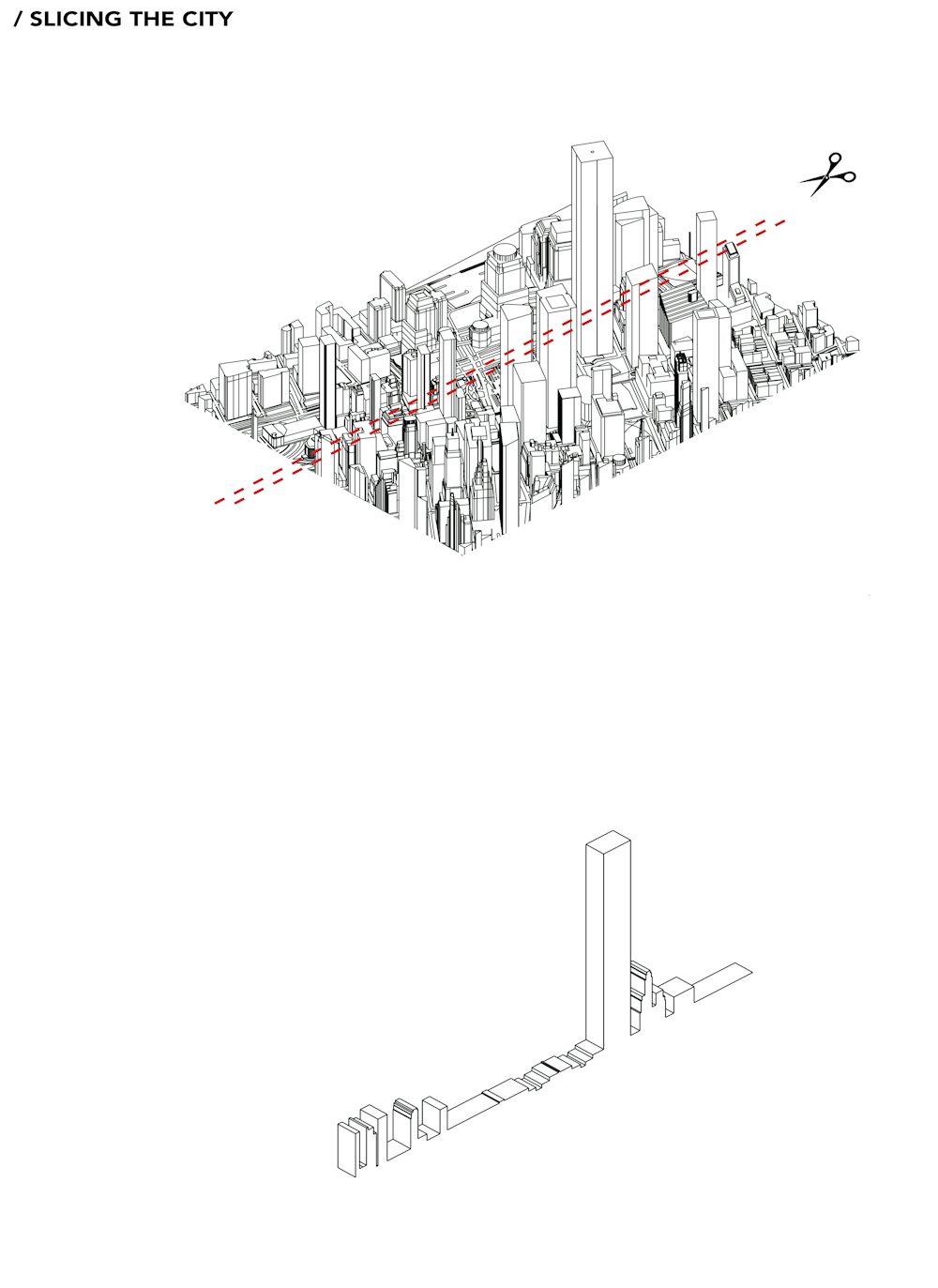
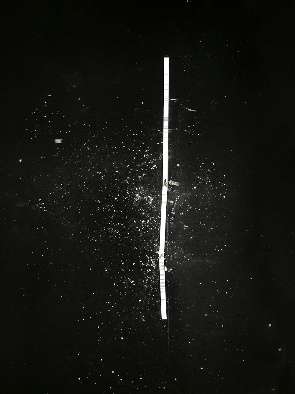
I would like to unveil the impact of human activity on the city’s landscape by documenting the birth, death, and rebirth of the World Trade Centre over decades: from the demolition of the old low-rise neighbourhood of Radio Row, the construction of the old Twin Towers, the 9/11 attacks and finally to the new development of the memorial and new towers around. The series of events that took place on the site are spatially energetic, aggressive and out of human scale, but were all created by human activity. However, in all the satellite aerial maps from each decade, energy of these events is barely visible from a top view.
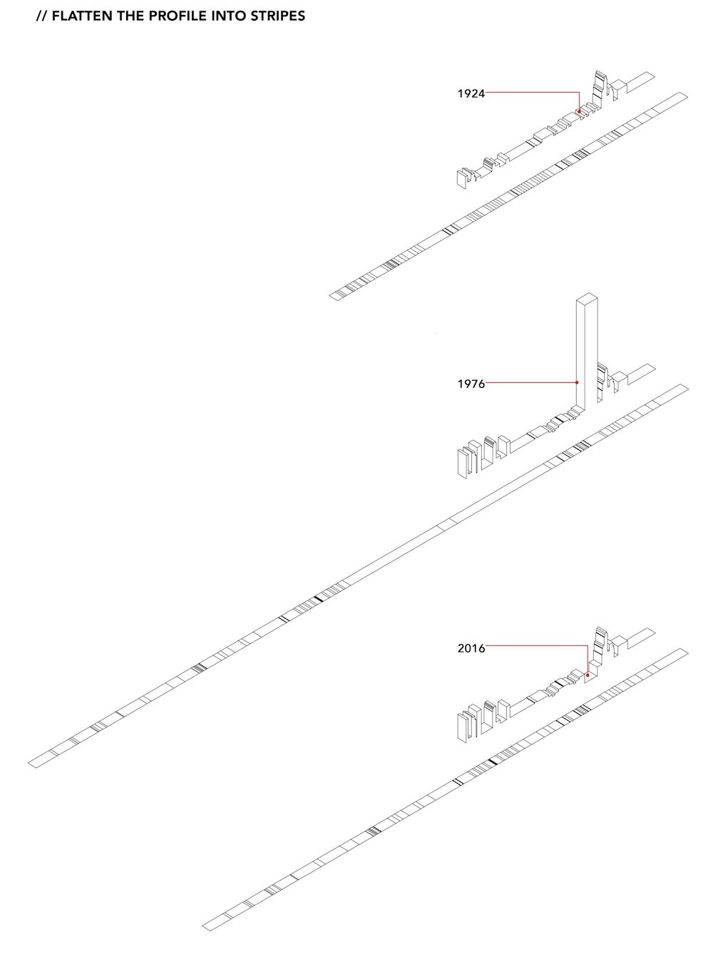
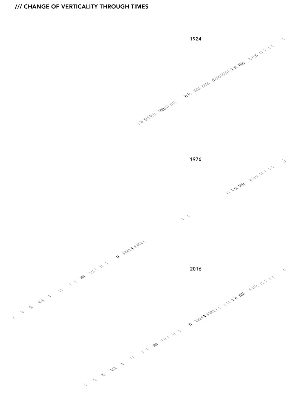
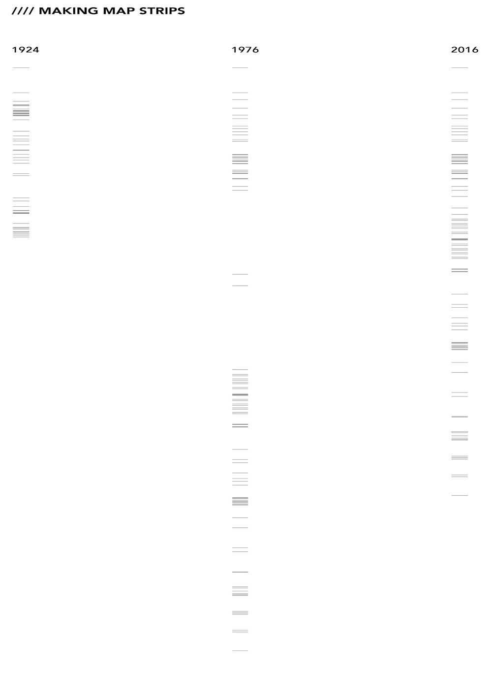
I will develop an alternative mapping method to document the verticality by taking one thin ‘sectional stripe’ out of the site and flatten it from the top to unfold the verticality back in a conventional way. The unfolded stripe will be presented together with the original stripe and aerial map to create a visual contrast. A short video will present all three moments transitioning over decades.